Guatemala Geography
Guatemala has many different things to describe in its geography. Guatemala is 42,042 miles square miles. Facts on this page will include volcanoes, streams, the lowlands, the highlands, and the northern plains. All of this will be described to you in this very fascinating section.
Guatemala is thought to be separated geographically in three ways, the Pacific Lowlands, the Highlands, an the Northern Plains. The Pacific Lowlands is mainly farmland, that has been being developed side the 1940's, and is not very populated. It acquires 30-60 inches of rain annually. The Highlands are a small range of mountains that stretch Guatemala in an easterly direction. It gets the same amount of rain as the Pacific Lowlands.The Northern Plains are a very undeveloped part of Guatemala, the population is extremely scarce. It receives a lot of rain every year, with 80-150 inches per year.
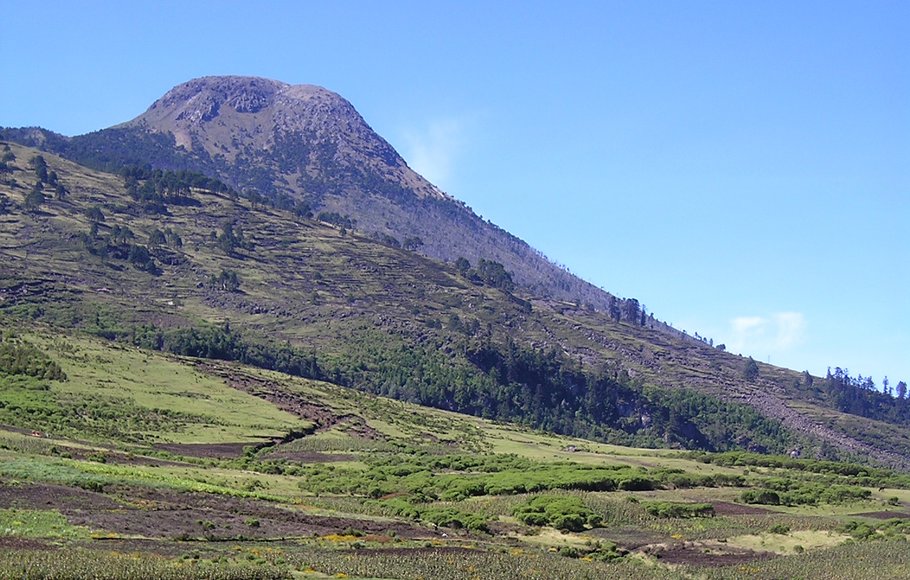
Guatemala has a lot of different physical features. It has several volcanoes, some active, and rivers. The volcanoes in Guatemala are mainly located in Southern Guatemala. 11 of the volcanoes are over 6,000 feet tall. Tallest mountain, that used to be a volcano is Volcan Tajumuco. It rises to 13,845 feet above sea level. Many streams that originate in the Highlands go to the Pacific through the lowlands. The largest river in Guatemala is the Motagua. It is 250 miles long and eventually flows into the Caribbean Sea through the Highlands.
Guatemala is thought to be separated geographically in three ways, the Pacific Lowlands, the Highlands, an the Northern Plains. The Pacific Lowlands is mainly farmland, that has been being developed side the 1940's, and is not very populated. It acquires 30-60 inches of rain annually. The Highlands are a small range of mountains that stretch Guatemala in an easterly direction. It gets the same amount of rain as the Pacific Lowlands.The Northern Plains are a very undeveloped part of Guatemala, the population is extremely scarce. It receives a lot of rain every year, with 80-150 inches per year.
Guatemala has a lot of different physical features. It has several volcanoes, some active, and rivers. The volcanoes in Guatemala are mainly located in Southern Guatemala. 11 of the volcanoes are over 6,000 feet tall. Tallest mountain, that used to be a volcano is Volcan Tajumuco. It rises to 13,845 feet above sea level. Many streams that originate in the Highlands go to the Pacific through the lowlands. The largest river in Guatemala is the Motagua. It is 250 miles long and eventually flows into the Caribbean Sea through the Highlands.


